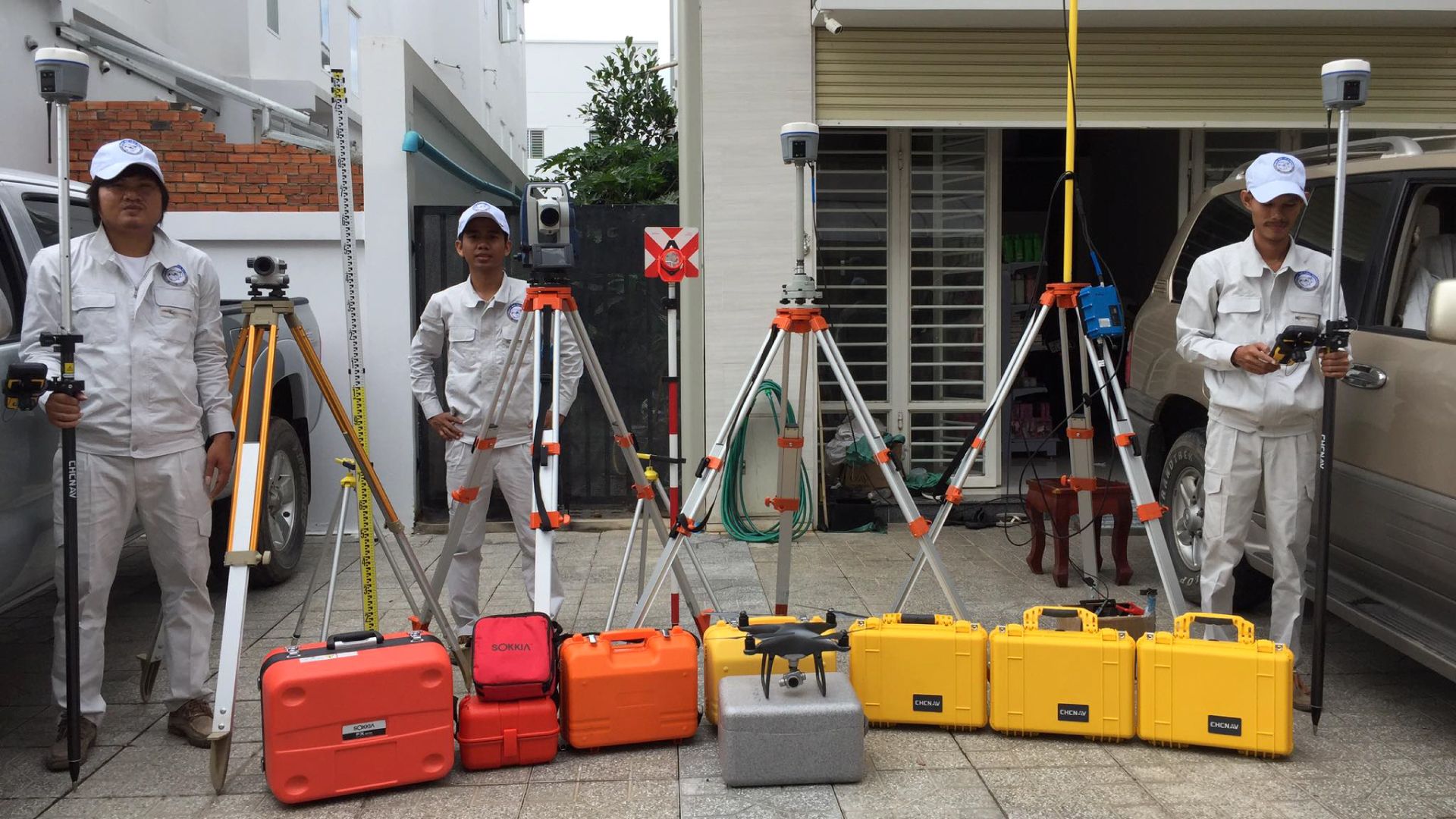
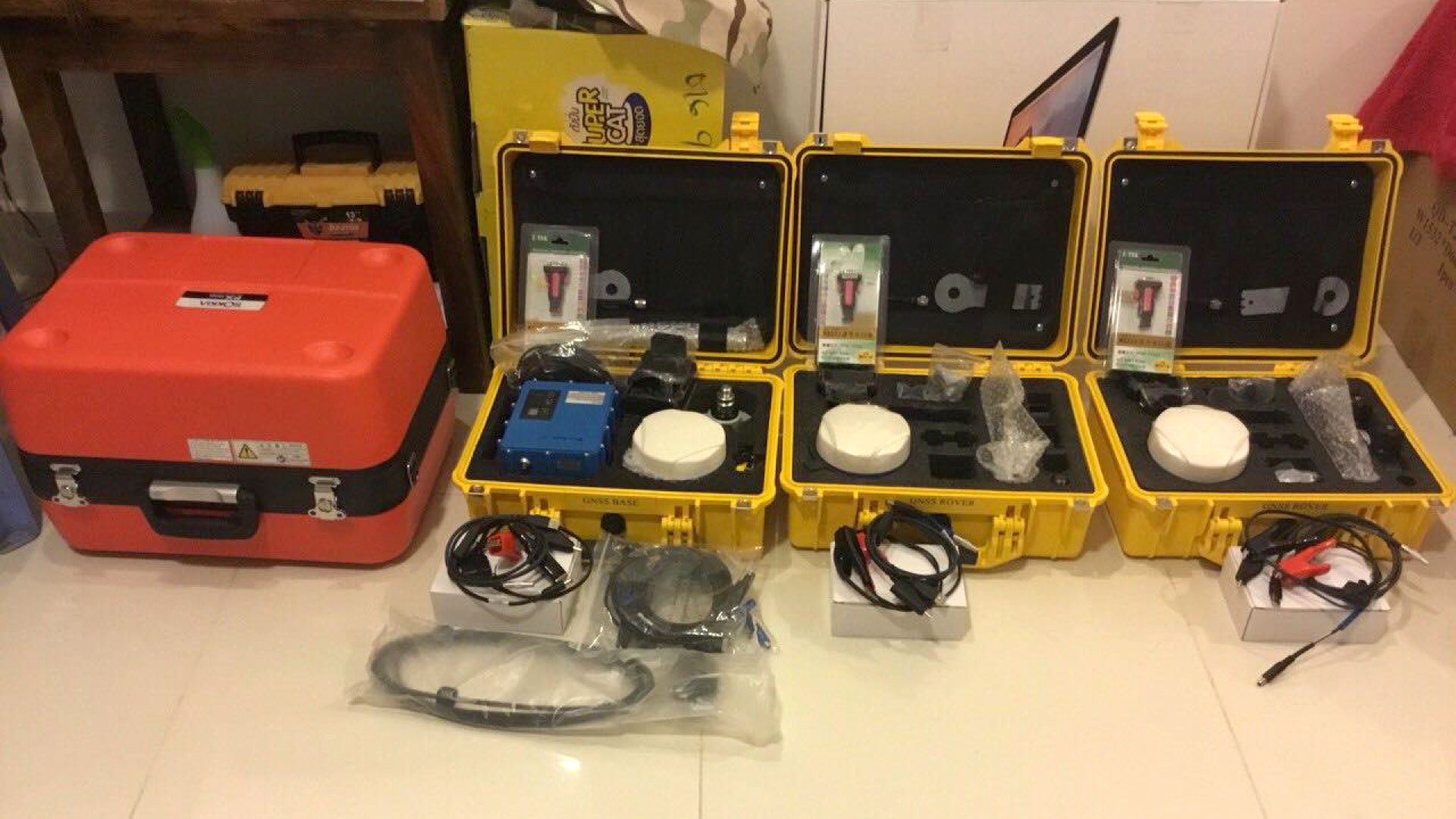
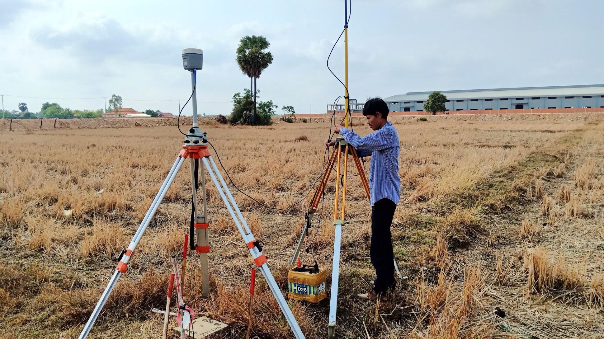
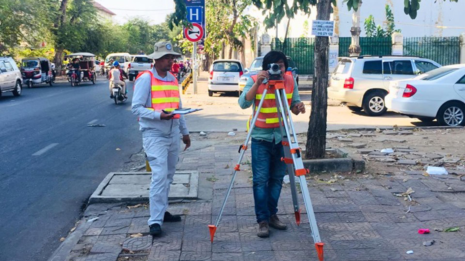
We provide a topographical survey service so that clients can establish the topographical conditions for the planning and execution of infrastructure projects. The services are as follows:
1. Topographic Land Survey
- Mapping the contours of the ground and existing features above the earth’s surface (i.e. trees, buildings, streets, walkways, manholes, utility poles, retaining walls, etc.);
- Perimeter boundary lines and the lines of easements on or crossing the property;
- Benchmarks/control points will be established with respect to the national grid coordinates;
- Based on the survey results and field observation, a digital elevation model (DEM) of the area surveyed will be provided;
- Mapping will be provided based on the survey results and a survey map will be prepared using AutoCAD Civil 3D software.
2. Underground Topographical Survey
- Scan underground optic cable
- Scan underground public power supply line
- Scan underground water supply pipeline system
- Scan all underground facilities as requested by the client.